01 — Field survey method

Five lines a surveyor records on site

Each visit produces one page of measured facts, written before any opinion and dated on the day. Items we could not confirm are listed in the same dossier, not omitted.

  1. 01

    Access road

    Surface type, clear width at the narrowest point, and grade on the final ascent.

    Surface
    Gravel, clear width 3.2 m
    To paved junction
    2.1 km
  2. 02

    Water point

    Source type, depth or yield, and whether the well is drawn by a neighbouring plot.

    Source
    Borehole, 32 m
    Shared
    No, single plot
  3. 03

    Power connection

    Phase count at the meter, distance to the nearest transformer, and the last outage note from the owner.

    Phases
    Three-phase, 15 kW
    Transformer
    1.4 km
  4. 04

    Boundary line

    Stakes walked end to end, fence condition, and any overlap with the parcel next door.

    Walked
    214 m
    Fence
    Post and wire
  5. 05

    Distances

    Measured along the road, not as the crow flies, from the gate to the nearest facilities.

    Hospital
    18 km, 24 min
    Rail halt
    11 km, 6 trains daily
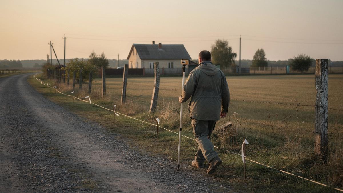
Surveyor walking the boundary line and access road of a country house in Poltava oblast
UA-0417 · Poltava oblast · boundary line and access road measured on site

Want a survey run on a specific plot? Send the brief.
03 — Entry anatomy

Anatomy of a register entry

One entry, opened up. UA-0417 covers a 1.4 ha plot in Poltava oblast, visited on site. Items we could not confirm are listed in the same dossier, not omitted.

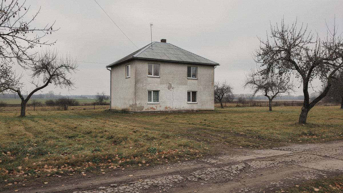
Low country house with a metal roof standing on the 1.4 ha plot described in register entry UA-0417

UA-0417 · Poltava oblast · 1.4 ha

UA-0417

Fixed row order, never re-sorted

01 Land area1.4 ha
02 Build year1998, roof replaced 2021
03 Water sourceBorehole, 42 m, pump house
04 Power connection3-phase, 380 V, 15 kW allocated
05 Access roadCrushed stone, 1.2 km to paved junction
06 Hospital18 km, Poltava
07 Rail6 km, 4 daily services

Why the order is fixed

The list runs from what a surveyor can measure to what a buyer must check in person. Land area and build year sit first because they are stable; access road and rail distance sit last because they change with road works and timetable revisions. Keeping the same seven positions across every entry means two dossiers can be read side by side without re-learning the layout.

Unconfirmed fields are not deleted. They stay in position and carry a plain note, so a gap is visible rather than silent. Read what the survey does not cover.

04 Limits of the register

Where our work stops

A register entry records what one adviser saw, measured and asked about on one visit. It is a description, not an approval. Anything we could not confirm is written into the same dossier next to the confirmed items, rather than left out.

Recorded in every dossier

Land area
1.4 ha, boundary posts measured
Build year
2009, wall material noted
Water source
Borehole 42 m, pump tested
Power
Three-phase at the pole, 15 kW
Access road
1.2 km gravel from paved junction
Distance
9 km to hospital, 14 km to rail

Not performed, at any price

  • Valuation or an opinion on asking price.
  • Ownership chain verification or title opinion.
  • Structural, geological and soil testing.
  • Contract drafting, deposit handling, payment escrow.
  • Rental income and resale projections.
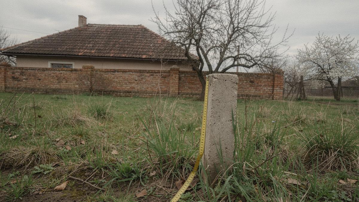
Adviser measuring a boundary post on a fenced cottage plot outside Poltava
UA-0417 Poltava oblast, 1.4 ha, surveyed 12 March

If a decision needs a document we do not produce, we say so at the brief stage. See what a full entry contains in the entry anatomy, or send the question with your brief on the contact page.

06 — Request a selection brief

Name the oblast, the budget, and what the land has to carry.

One brief, one dossier per property: land area, build year, water source, power connection, access road type. Items we could not confirm are listed in the same dossier, not omitted.